Authors: Sophie Morley, Louisa Orchard and Niki Sole (ASF-UK)
A five day workshop was held between the 21st - 25th January 2019 in Freetown by SLURC and Architecture Sans Frontrieres-UK (ASF-UK) as part of the KNOW project. The workshop introduced participatory spatial research methods and explored how they can be used in Freetown to develop Informal Settlement Profiles. This workshop followed the completion of two Community Action Area Plans for the communities of Dworzark and Cockle Bay. Informal Settlement Profiles will be mobilised in order to provide a robust evidence base to support the principles set out in these Plans.
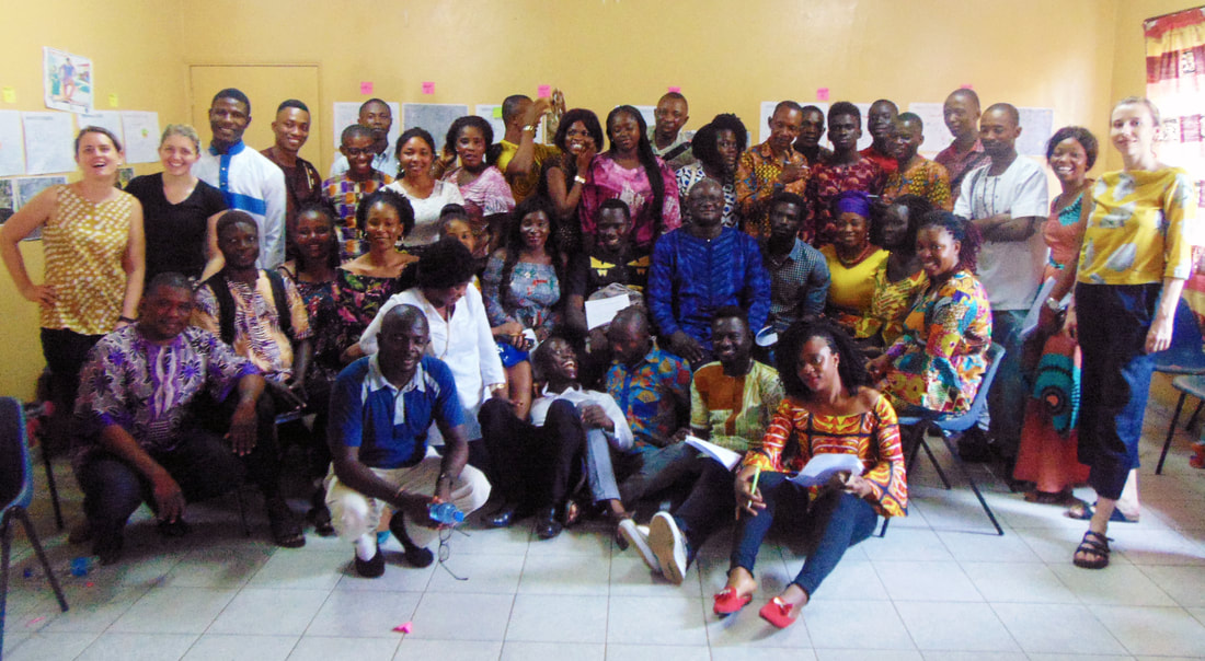
More specifically, the focus of this workshop was to explore how participatory spatial research methods could be utilised to collect data, with the help of a diverse mix of over 30 local participants including community members, community leaders, students and representatives from local NGOs and CBOs.
The workshop opened with symposium consisting of different city stakeholders drawn from the City Learning Platform and Community Learning Platform who discussed the needs and aspirations for informal settlement profiles and how they can contribute to better understanding of city-wide urban development processes to inform entry points for interventions that support urban equality for informal communities in Freetown. This event explored the approaches to community-led data collection for informal settlement profiles and concluded with reflections on the challenges and opportunities around the process.
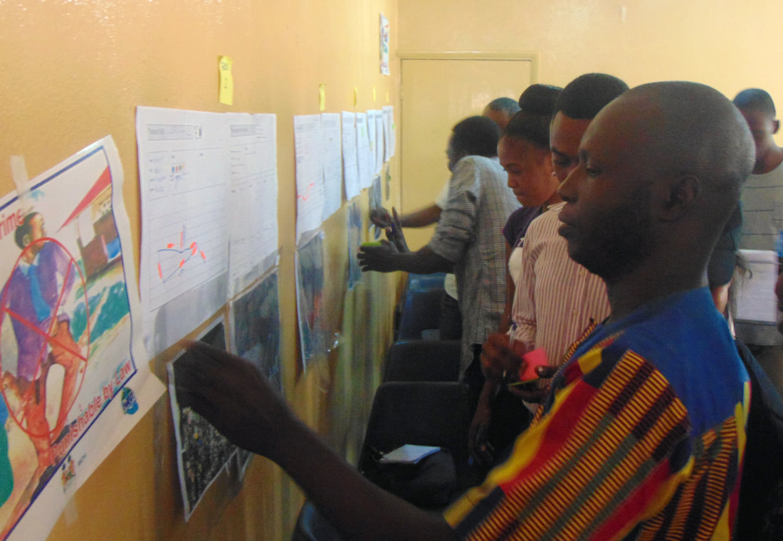
Following the symposium the workshop participants were introduced to the concept of participatory spatial research methods, and explored how data collection using these methods for informal settlement profiling could be undertaken within an ethical framework. This resulted in participants producing a code of conduct for data collection. Five different tools for participatory spatial data collection were introduced; transect walks, mapping, timelines, photo diary and ranking/prioritising.
With data standardisation and consistency in mind, each tool proposed to utilise a ‘digital’ and ‘manual’ component. Digital components included Ramblr, a phone app for ramblers and hikers to share routes, to support transect walks, in addition to GPS and WhatsApp which were used to record photographs and identify locations. The potential ways these digital platforms could be adapted to support the participatory collection of spatial data were set out and discussed by participants.
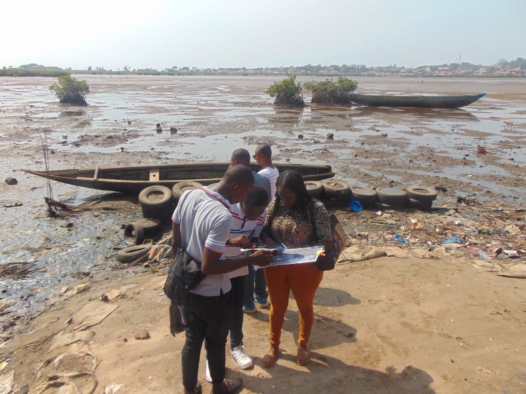
The tools were then tested by participants in groups within the communities of Dworzark and Cockle Bay. This testing, in addition to feedback by participants, led to a mutual learning process which helped to identify how the tools could be further developed to aid effective participatory spatial data collection.
Following the data collection period which will begin in the next few weeks, a further workshop is to be held in the summer by ASF-UK and SLURC as part of the KNOW project. This workshop will see local and international participants come together to process and visualise the data collected in the Cockle Bay and Dworzark communities.


