Sierra Leone Urban Research Centre
  • HOME
  • ABOUT
    • Contact >
      • Current Vacancies
    • News
    • Media
    • How we Work >
      • Organizational Documents
    • Our People >
      • SLURC Team
      • Board of Directors
      • International Advisory Committee
      • Champions
  • RESEARCH
    • Urban Health >
      • Future Health Systems
      • ESRC Shock Tactics
      • ARISE
      • AT 2030
      • Ebola Virus Disease Response and Resilience
      • Urban Malaria Research Project
      • COVID-19 Impacts
      • COVID-19 Vaccination
      • Urban SHADE
      • Urban Futures
      • Spatialising Climate Impacts on Health
    • Urban Livelihoods and the City Economy >
      • Urban Livelihoods in Freetown’s Informal Settlements
    • Urban Vulnerability and Resilience >
      • Humanitarian Responses and Empowerment Outcomes in Informal Settlements
      • Building Collective Capacity to Disrupt Urban Risk Traps
      • Flood Risk Assessment and Management Plan for the Secondary Cities of Sierra Leone
    • Land and housing >
      • Community Action Area Planning and Change by Design
      • KNOW: Knowledge in Action for Urban Equality
    • Urban mobility and transport >
      • T-SUM: Transitions to Sustainable Urban Mobility
      • AT 2030
    • Urban Infrastructure and services >
      • Energy
      • Sanitation
      • Water
  • PUBLICATIONS
    • Blog
    • Newsletters
    • Briefs
    • Reports
    • Video >
      • ARISE Project
    • Audio
  • TRAINING & WORKSHOPS
  • URBAN RESOURCES
    • Urban Data Portal

Mapping for change - hazards, vulnerabilities and capacity to act: capacity building workshop in Freetown

3/27/2017

0 Comments

 
Author: Braima Koroma
Picture
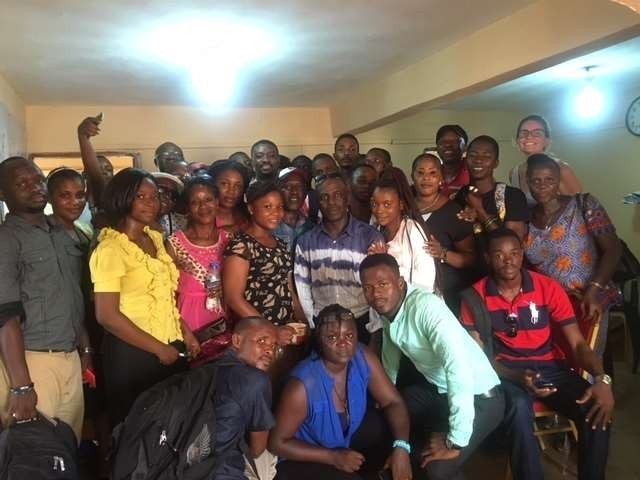
During the workshop, mapping of the settlement was undertaken in two informal settlements, both in the west of the city, namely, Dwazark, a hillside community, and Cockle Bay, a coastal community.  At the community level, the team brought together men and women from each of the two settlements, to discuss and decide where to map, why and how, as a way to apprehend their community profile, infrastructure, capacity to act and a means to document and monitor  where, feeding feed spatial and temporal details into an interactive online database about specific hazards, who is affected, where, how and why. The fieldwork exercise tested various participatory tools such as focus group discussion, mapping using smart phones and applications such as Ramblr to collect data that feed the information gathered into ReMapRisk. 
Read more

0 Comments


Leave a Reply.

Email: 

[email protected]


Telephone:

+232 79 684818
Sign up for our quarterly newsletter


Staff Login
All rights reserved Copyright © 2019 SLURC. Website design by  Planning Green Futures. Powered by Softcom Multimedia